
Trace a Shelby Street Directory
Start with the Cleveland County parcel map when the question is about a particular Shelby address or a stretch of road. The parcel record gives the stable PID, or parcel identifier, that ties the map to property history. From there, the record trail changes character at each stop: WebGIS is about parcels and owner fields, the Register of Deeds is about recorded title instruments, voter material is about registration, and older directory material may describe a past occupant. None of those labels alone establishes a complete current household.
Use the same address spelling throughout the first pass. If the number or street format fails, shorten the street fragment rather than adding more words. Cleveland WebGIS specifically recommends short fragments, which is useful where a suffix, direction, or spelling variation changes a result. Record the PID and the date viewed before moving on. That small log keeps results from neighboring parcels from being blended together.
- Search the street or address in Cleveland WebGIS and open the matching parcel. Note the PID, situs address, owner field, tax mailing address, deed reference, and tax year.
- Open Parcel History with the PID. Compare transfer dates, parent parcels, and deed references; use the ledger-sheet route for history before the online history period.
- Follow the owner or deed reference to the Register of Deeds. Search the current recipient of title, inspect the legal description, and retain the book and page.
- For a registration question, use the state voter search by name and county or request an authorized county or precinct list. The public lookup is name-first, not a street map.
- For dated occupant clues, consult the North Carolina Room's directories, telephone books, newspapers, and maps. Label each finding with its source year rather than treating it as current.
Note: A useful street trail records what each custodian actually labels, then keeps title, registration, postal, and historical evidence separate.
Search Shelby Streets in WebGIS
Cleveland County WebGIS combines property valuation and mapping in one public viewer. Its basic search can begin with an owner name, street fragment, address, or PID. Results can be sorted, selected, highlighted, cleared, or exported where the viewer enables export. The map is valuable for seeing several parcels along a Shelby street, but the county cautions that it is not a survey. A recorded deed or a surveyor remains the source for a legal boundary question.
| WebGIS field or control | Input | How it helps a Shelby street search |
|---|---|---|
| Search mode | Dropdown or tab | Choose the live owner, address, or parcel route available in the viewer. |
| Owner or name | Text | Use a short fragment or spelling variant when a deed or parcel name is known. |
| Address or street | Text | Use a short street fragment, then review multiple parcel results. |
| Parcel or PID | Text | Returns to the stable parcel key after an address has been matched. |
| Advanced layer and field | Dropdowns | Select a map layer and field before adding a narrower query. |
| Operator and value | Dropdown and text | Build a field-specific comparison, then add it to the query. |
| AND, OR, grouping | Query controls | Combine a street term with a tax district, ZIP, parcel range, or other available attribute. |
| Highlight and export | Buttons | Keep the selected street results visible or export the result table when enabled. |
The county parcel-area service reports a maximum of 2,000 records, so a broad street search may need a narrower fragment, municipality, tax year, ZIP, or parcel condition. The live viewer did not expose a fixed complete list of search modes in the research capture. Use only the options shown when you search, and keep a note of the query used.
Cleveland County WebGIS is shown below with its property-search and map controls.
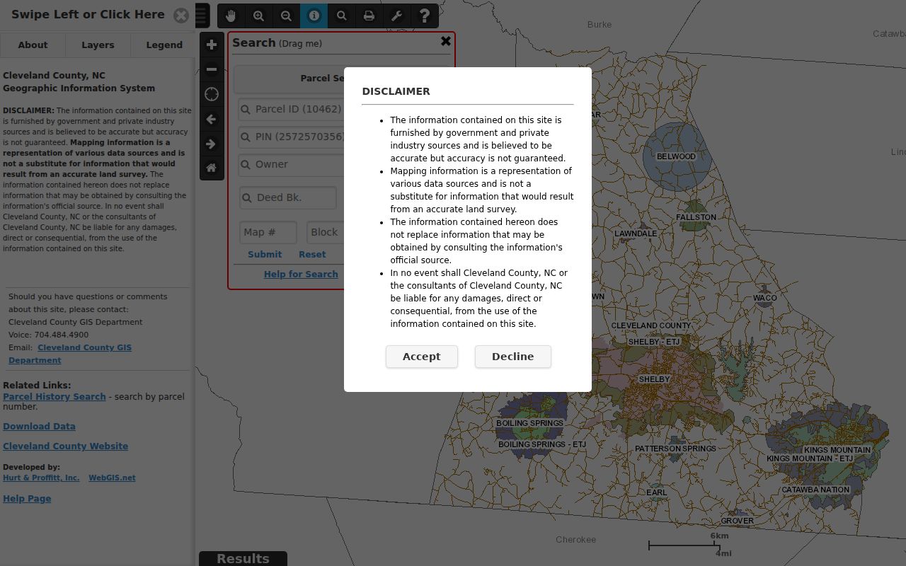
The viewer makes it practical to start with a street fragment, but a result row is still a parcel record. Its fields must be read as parcel data, not as a list of everyone at the address.
Read Shelby Street Parcel Fields
A Shelby by-address search becomes more reliable when each address label is named correctly. The situs address is the physical location of the mapped parcel. The tax mailing address is where assessment notices go, which may be a post-office box, a company, or another town. The legal description is the lot, block, plat, or metes-and-bounds language in the title record. A street number may change while the legal description and deed reference continue.
- Parcel or PID
- A county identifier for the mapped property. It is the best handoff between the WebGIS result and Parcel History.
- Situs address
- The physical parcel address used on the map. It identifies location, not every person connected with it.
- Plat
- A recorded map of a subdivision or tract. A plat can connect a lot and block to a deed description or an older address form.
- Criss-cross directory
- A directory arranged by address rather than only by name. The North Carolina Room should confirm whether a requested Shelby volume includes this format.
County parcel metadata can include owner fields, deed book and page, physical and mailing address, city, state, ZIP, acreage, value, neighborhood, tax district, and tax year. A name in an owner field is a title or tax clue. It is not proof that the named party occupies the site. Likewise, a mailing city or Shelby postal line does not decide whether a parcel lies inside the municipal boundary.
Shelby Street Address Records
Address records answer different questions along the same Shelby street. The coverage below keeps the source, its address-keyed output, and its limits in view. Begin with the source that matches the question. A property question belongs with WebGIS and deeds; an older occupant question belongs with dated directories and library material; a registration question belongs with the elections custodian.
| Address record | Custodian | Street-level output | Access and limit |
|---|---|---|---|
| WebGIS parcel | Cleveland County GIS and assessor | PID, situs, owner, tax mailing address, value, deed reference, acreage, and district | Free viewer; not a survey or complete household list. |
| Parcel History | Cleveland County GIS | Transfers, combines, owner names, transaction types, dates, and deed references | Begins in 2002; earlier work uses the ledger-sheet route. |
| Deed and plat index | Cleveland County Register of Deeds | Grantor, grantee, legal description, book, page, recording date, lot, block, and plat | Verified index from 1995 forward; earlier online index has stated limits. |
| Planning permits | City of Shelby Planning and Building | Address, permit type and status, valuation, size, and project dates | Public 2025 single-family layer; older coverage was not published. |
| Code material | City Code Enforcement | Address category, division, and officer route | Report route is public; no full public case index was located. |
| Voter record or file | NCSBE and County Board | Registration address fields, precinct, district, and voter history under statute | Individual lookup or requested list; protected data and addresses remain restricted. |
| Miller directories | North Carolina Room and DigitalNC | Dated occupant, household, business, and address clues | Selected 1937/38 to 1963/64 volumes; exact reverse run is unconfirmed. |
| Shelby Star and Sanborn maps | Library, archive, and Library of Congress | Notices, obituaries, street forms, blocks, building footprints, and land use | Historical evidence, not a current resident list. |
When an online record fails, the alternatives matter. The Register of Deeds can answer land-record questions at its counter or by phone, and older deeds may require office books, microfilm, or a book-and-page lookup. The library's North Carolina Room supplies historical directories, newspapers, deeds, maps, and local files. For an existing county record not online, Cleveland County accepts written public-record requests by email or mail under the North Carolina Public Records Act. The law does not require the county to create a new street list.
Shelby Street Parcel History
Parcel History is the useful bridge between a current Shelby street address and a recorded transfer. Its public search accepts a PID and returns parcel number, parent number, owner name, deed reference, transaction type, and transaction date. It also links to a property-card route, the parcel on the map, a ledger sheet, and scanned deed images. The research capture documents history beginning January 1, 2002. A combined or split parcel can have a parent number, so following only the newest PID may hide part of the earlier path.
The WebGIS help material describes the map tools that support a street-by-street review: Identify can use a point, rectangle, polygon, or multipoint; Adjoiners selects parcels sharing a line or corner; a buffer can select features within a distance; and Results can be sorted, highlighted, and exported. These tools organize parcels, not people. Measure is for orientation and is not a legal survey.
The official WebGIS help page illustrates the query, selection, and export tools available for a Shelby by-address search.
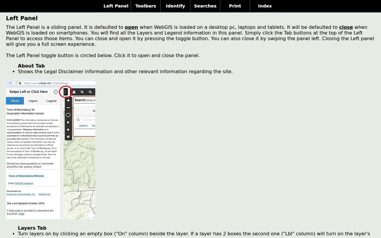
For a family history or property-curiosity trail, save the PID, parent number, deed reference, and transaction date together. Those four details make a later office or library request much more precise than a street number alone.
Note: Parcel History lists transfers and parcel events, so it should be paired with the recorded instrument before drawing a title conclusion.
Shelby Street Permit Signals
Address-keyed planning records can date work at a Shelby property without naming every person associated with it. The city’s 2025 single-family permit layer contains an address, year, valuation, square feet, permit type and number, permit status, work class, and application, issue, expiration, finalization, and inspection dates. A permit can help date construction, an addition, repair, or inspection. It does not establish ownership, occupancy, or a complete history of a structure.
New planning, zoning, and building applications route through Shelby's GovWell permit system, which launched in September 2024. Older planning records remain in the prior system. The planning GIS also identifies city limits, ETJ, zoning, historic districts, wards, and code-enforcement divisions. Use the address and date to ask the right city office about an existing record. A nuisance category or an address lead is not evidence about a particular person.
Planning and code questions route through Shelby’s planning GIS layers and the city's documented planning contacts. This local street layer is most useful when it is compared with the county parcel PID and the proper date.
Shelby Street Deed Chain
The recorded deed chain explains why a street-by-street search should not stop at an owner name. Start with the current WebGIS owner and deed reference, then search that owner as grantee around the transaction date in the Consolidated Index. The purchase instrument identifies a grantor, or seller, and a legal description. Search that seller as grantee for the prior transfer while comparing the lot, subdivision, PID, and book and page. If a transfer leads to an estate, the Clerk of Superior Court may hold a related probate file; if it leads to a corporation, the Secretary of State history can clarify the entity.
The Cleveland County Consolidated Index has important era limits. The searchable real-property index is verified from January 3, 1995 forward. Results for 1945 through 1994 are an expressly unverified finding aid, and the 1979 through 1985 route is name plus year rather than an exact date. For older work, use the Register of Deeds counter, book indexes, microfilm, or physical books. Pre-1960 image instructions require book and page with dashes omitted.
The county deed-index destination is the source for Shelby title research, though its live access can require a public search path or login.
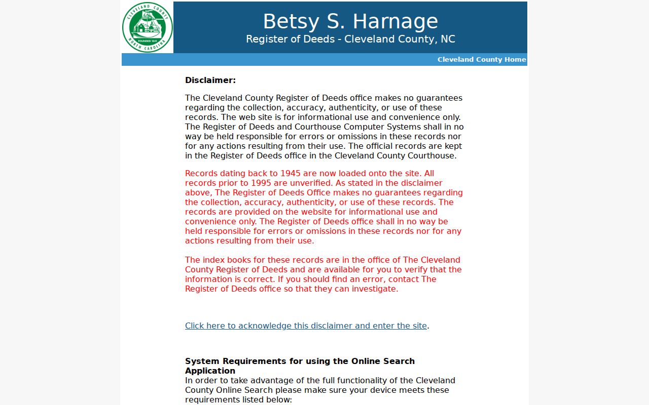
A red pre-1995 index result is a lead to verify, not confirmed title evidence. The Register of Deeds provides an office, phone, and copy route when an image is blocked or falls outside the available online range.
Shelby Street Voter Layer
Registered-voter material is a different Shelby street layer from property data. The official NC Voter Search asks for first and last name, with optional middle initial, year of birth, and county, plus a required registration-status choice. It can display voter details, jurisdictions, polling place information, sample-ballot details when available, absentee information, and voter history. It is not a public browse-by-street directory.
G.S. 163-82.10 permits specified voter-list fields and allows county or precinct list requests under its rules. A request may be selective by precinct, registration date, districts, or voter history; a medium request can carry actual cost and up to a $25 service charge. Voter history shows participation, not ballot choice. Full dates of birth, Social Security information, driver-license data, email, photo and ID copies, and qualifying protected addresses are confidential. The Cleveland County Board of Elections is the proper custodian for a lawful list or an address question.
Shelby Street ZIP Geography
A Shelby mailing address, a municipal location, and a tax jurisdiction can point to different geographies. County WebGIS exposes city, state, ZIP, tax district, and parcel fields, while the city planning GIS has separate city-limits and ETJ layers. A street directory result should retain the original values from each source rather than converting a postal community into a city-boundary claim. The county parcel layer and the city layer should be compared before labeling a property as inside Shelby.
The clearest local warning is ZIP 28150. The North Carolina Department of Revenue ZIP and county table lists both Cleveland and Rutherford counties for that postal designation. That crossover does not identify every affected street, and it does not make every 28150 address a Shelby city parcel. USPS address lookup is the street-level check for current delivery information. For ZIP-by-ZIP work, use the Shelby ZIP code directory before narrowing the research to a street.
Note: Postal ZIP, situs address, tax mailing address, legal description, city limits, and ETJ each answer a separate location question.
Shelby Street Directory History
Historical street research needs dated source material. The Eugenia H. Young Memorial Library North Carolina Room lists city directories, telephone books, Shelby Star microfilm, deeds, wills, tax lists, cemetery surveys, maps, yearbooks, and family files. Miller's Shelby directory runs documented in local sources include 1937/38, 1943/44, 1945/46 through 1957/58, 1961/62, and 1963/64. The exact reverse or criss-cross shelf run was not published, so ask the librarian whether a particular volume is address arranged before relying on it.
For a former-classmate or family trail, pair the directory year with a deed recording date, a census date, and a newspaper notice. The directory can place an address and a household clue at the time of compilation, while a deed records title and a map supplies block context. The North Carolina Room's Shelby Star microfilm begins in 1902, with a delay for the newest issues. Historical address research belongs there rather than in a current parcel result.
Shelby Street Directory Limits
Public address sources have firm boundaries. Parcel fields identify land and title-related information, not a full household. Utility customer records are not a public household source. DMV personal-address information is protected, and a public voter result can omit qualifying protected addresses. A deed may use a lot, block, road, creek, or adjoining owner instead of a modern number. Absence from one index can mean a different spelling, time period, custodian, or confidentiality rule, not proof about a person.
North Carolina's Address Confidentiality Program provides a substitute address for covered state records for qualifying participants. Protected voter addresses have separate statutory treatment. Do not infer a protected address by combining adjacent records, map tools, or missing fields. Ask the responsible custodian about an existing record, a redacted version, or the correct correction procedure. Cleveland County written public-record requests should identify an existing record, custodian, date range, subject, and preferred format.
Lawful use. Use Shelby street records only for personal, lawful research. Do not use them to stalk or harass anyone, and never attempt to infer a protected address.